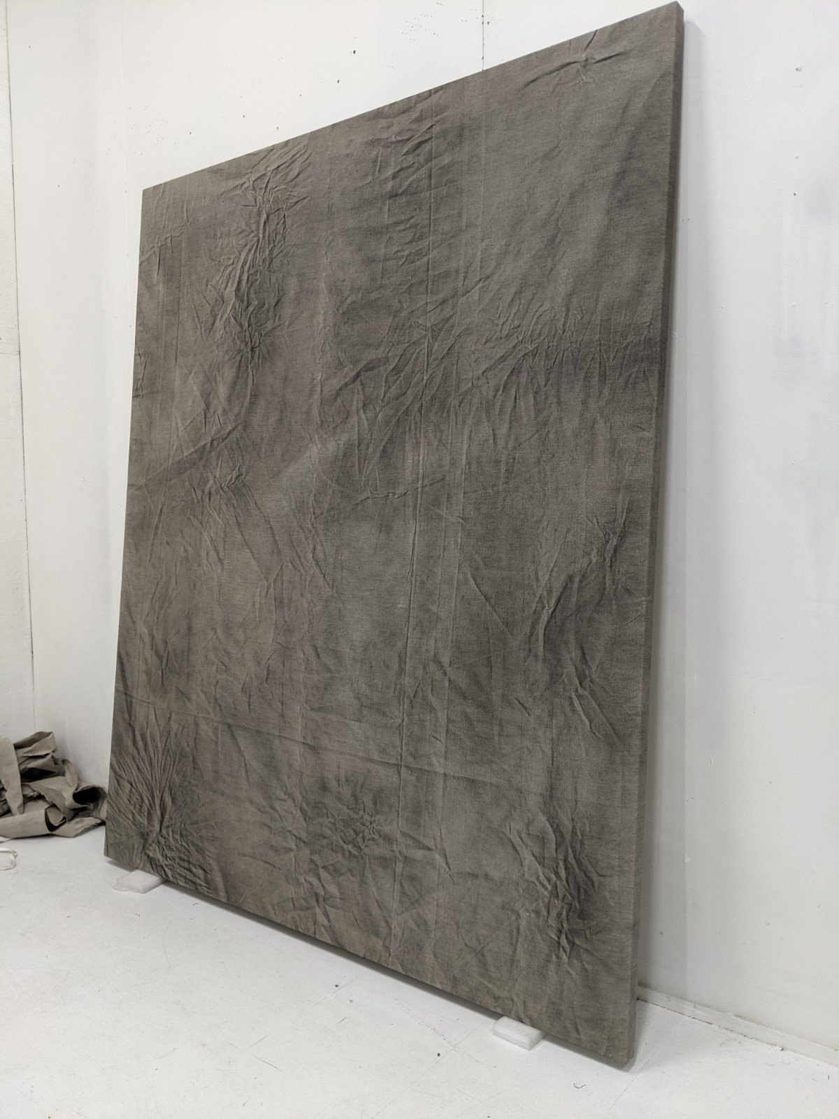
An ongoing series examining aerial landscapes and mapping, using 3D generated height-map models, HAP databases and satielite photography.
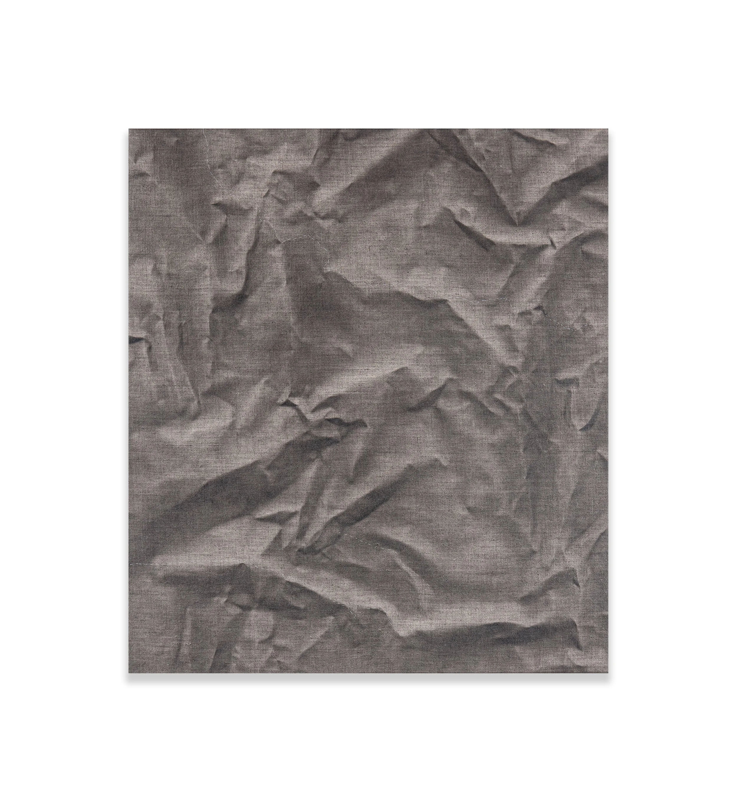
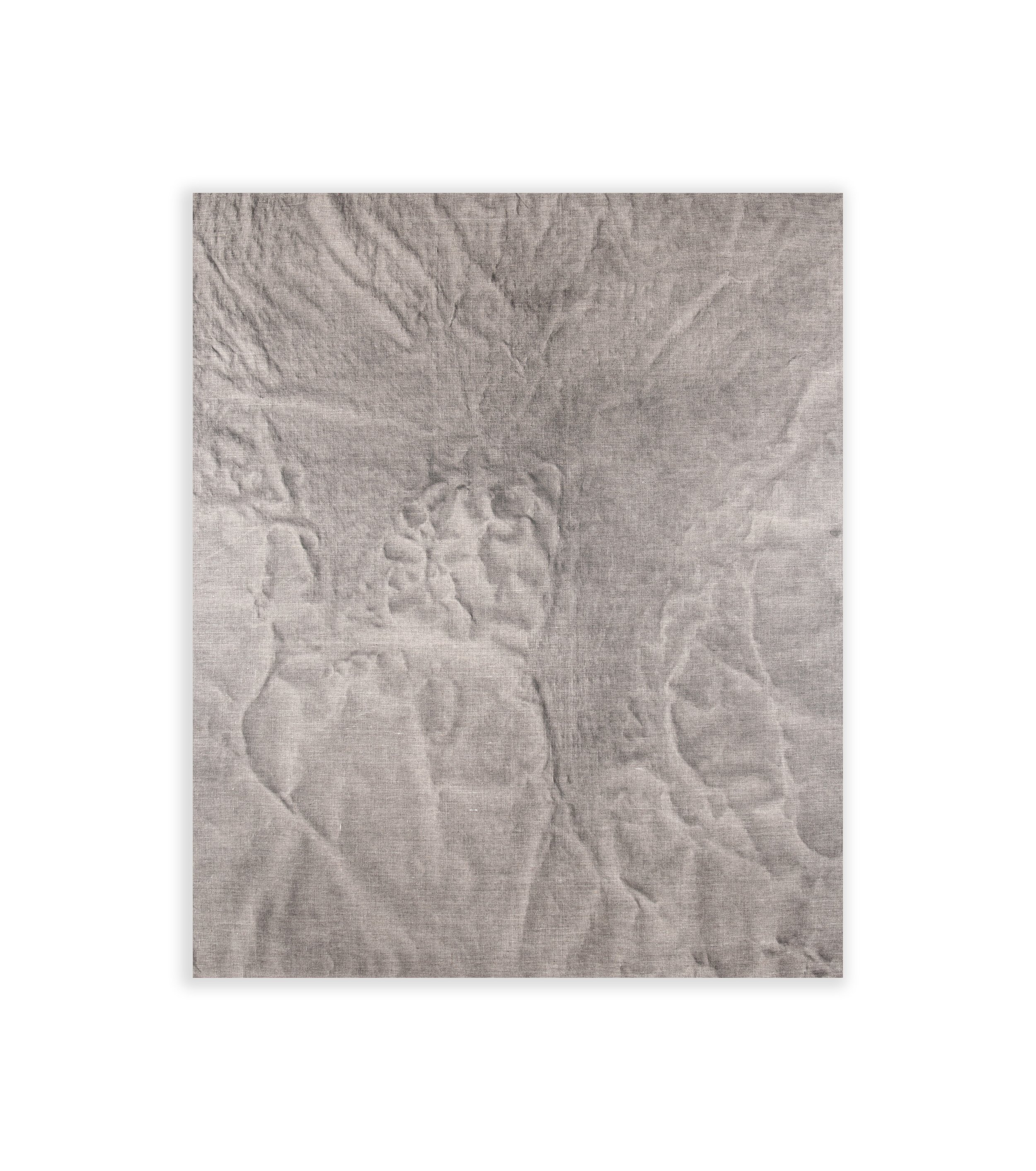
An ongoing series examining aerial landscapes and mapping, using 3D generated height-map models, HAP databases and satielite photography.